Monday, May 30, 2011

THE BATTLE OF LITTLE BIGHORN, MONTANA


An area of almost treeless plains lies between Sheridan in northeastern Wyoming and Billings in southeastern Montana—good range for buffalo in the 19th and now cattle in the 20th and 21st. centuries. But this area also served as a backdrop for some of the final acts in the epic struggle between Indian tribes trying to preserve their nomadic way of life and advancing American pioneers trying to create farms and ranches with fenced in lands.

In 1874, when Lt. Colonel George Custer led an exploratory expedition to map the Black Hills region, he unexpectedly discovered gold. A rush of prospectors began to flood on to lands that had been set aside for the Lakota and Cheyenne Indians by the Fort Laramie Treaty of 1868. American plans to relocate the Native Americans to other less valuable lands were rejected by the tribes. Thus the seeds of renewed conflict were sown. Under the spiritual leadership of Sitting Bull, the Indians left their reservation and resumed attacking settlers going west along the Bozeman Trail, a branch off the Oregon Trail. The U.S. Cavalry, responsible for protecting the pioneers, was reinforced. A full-fledged war with the Plains Indians began.

How did the massacre at Little Bighorn occur? Many experts have written about the battle, providing complex military analysis. One factor is that Custer divided his command of about 700 men into three smaller groups in the face of a much larger Indian force. This tactical decision undoubtedly violated an important principle of battle—do not divide your forces when you are significantly outnumbered. Indian warriors then defeated the first two of these smaller groups and caused them to retreat. Futilely awaiting reinforcements, Custer’s group of 210 soldiers stood alone and vulnerable. And so the defeat of the cavalry was complete as all of Custer’s men lost their lives in what has come to be known as Custer’s Last Stand.

The soldiers and the warriors were two groups of men doing their jobs -- each was fighting to protect what they viewed as their rights. The Indian warriors fought to protect their lands violated by the Americans and the US Cavalry soldiers were doing their duty to protect the pioneers pouring into the west. The irony, of course, is that Custer discovered the gold that brought the miners on to designated Indian lands, and then he died in the aftermath.

DEVILS TOWER, WYOMING


Rising 857 feet out of the floor of the plains in southeastern Wyoming is a 1000 foot diameter, black, cylindrical fluted rock with a slightly rounded 1.5 acre cap at its peak. How did Devils Tower, this unearthly object, come to be here?

50 million years ago molten magma, from deep within the earth, forced its way into the sedimentary rocks above and then cooled underground. As the magma cooled, it contracted and the rock fractured along its stress lines into multiple, perfect vertical hexagonal shapes -- 120 angles at each corner, one of the strongest geometric forms in nature. Over the millions of years since the magma intrusion and cooling, the two miles of sedimentary rock above the now-cooled granite form was worn away by erosion -- leaving this magnificent and mysterious rock protruding from the earth.

The several Indian nations of the region regarded this rock formation as a sacred site -- putting their ancestors and wildlife at the center of legends to explain its presence. The first American explorers to see the tower thought it was a core remaining from an ancient volcano. Later, geologists determined its true origin – as a magma intrusion into sandstone.

Stephen Spielberg recognized the otherworldly character of Devils Tower and made it a prime feature of his award winning film, Close Encounters of a Third Kind.

GOLD RUSH - BLACK HILLS, SOUTH DAKOTA


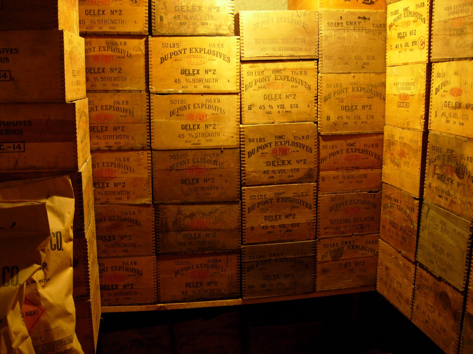
LEAD The town of Lead, pronounced “leed” is famous as the location of the Homestake Mining Company. Why is Lead pronounced “leed”? The name refers to the holes drilled in the face of the mine tunnel to allow dynamite charges to be placed deep behind the face and blow out the rock – in other words, a lead hole.

Why is the company called Homestake? The Homestake mine was the richest single producer of gold in the world delivering 1.25 million kilograms in its lifetime, from the days of the Black Hills gold rush of 1876 until the mine was closed in 2002. Born in Scotland and seeking his fortune in the field of mining, George Hearst (father of William Randolph Hearst) purchased this most promising claim and established the Homestake Mining Company. For Hearst, this was the core of a fortune – the find was not just a “grubstake” mine; it was a “homestake” mine, one that could take care of you for the rest of your life.

DEADWOOD The Mt. Moriah cemetery overlooking the town of Deadwood is best know for its special occupants who dominated the myths of the American West in the last quarter of the 19th century. Buried here are the legendary figures of Wild Bill Hickok and Calamity Jane, whose graves are next to each other, as well as Potato Creek Johnny and other colorful outlaws and marshals who drank and gambled in this gold rush town.

However, less well known is that at the top of these well kept grounds with its resident dead is a Jewish section whose occupants also came to Deadwood after 1875 and lived and died here. They came from Konigsberg, Prussia, from Lithuania, and from towns in Germany --- peddling and setting up shops to provide dry goods, grocery items, and whatever else could be sold to meet the needs of this rapidly growing mining town. In fact, prosperity was more assured to those involved in commercial activities than to those panning for gold. In the American tradition, Jews of this community were full participants -- serving on the town council and in other political and administrative positions. Though they had no synagogue, the Jews formed an observant community that conducted weekly services in the home of one of its members. Their Torah scroll had been brought from the old country, i.e. Europe, where it had been penned in Hebrew by a scribe. As Deadwood went from boom to bust (though never fully busted), the Goldbergs, the Franklins (ne Finkelstein in the old country), the Zoellners, and the others left Deadwood for new opportunities. Their Torah now is in use in a synagogue in Rapid City. These families also pioneered the west and left their marks, possibly not as dramatic as Wild Bill, but certainly as important.

Saturday, May 28, 2011

MOUNT RUSHMORE, SOUTH DAKOTA


In 1927, when patriotism was an honored sentiment, Gutzon Borglum undertook the carving of four of our greatest Presidents into the solid granite rock of Mt Rushmore in the Black Hills National Forest of South Dakota. Borglum, the son of Norwegian immigrants, was an artistic genius who thought on monumental scale and was a manager who could oversee a project of this scope.

He wished to commemorate for the ages -- Washington the Founder; Jefferson the Builder; Lincoln the Preserver; Teddy Roosevelt the Developer.

The grand undertaking began with support from President Calvin Coolidge and South Dakota Governor Peter Norbeck. The sculptor built 12 foot models of the heads and torsos now preserved in the sculptor’s studio. After a few false starts, the work began – 400 workers took part (with no fatalities). The carvers climbed 700 steps to the top to then be suspended over the mountain cliff on bosun chairs for the day’s work. They used dynamite charges to rough out the 60 foot high heads and then removed additional granite for the presidential faces to emerge in all their simple grandeur. In 1936, President Franklin Roosevelt dedicated the partially completed monument. Work stopped during the years of World War II.

Would our nation in 2011 be able to initiate this project? Or would we become tied up with disputes about whom to honor? And what about the environmental impact studies? Could we alter the landscape by blasting the granite off a mountain peak, leaving a large talus slope under the images carved in rock? And who would build the support systems needed to take care of the millions of visitors over time? OSHA would certainly not issue a permit for this effort--- or if it did, the requirements would preclude the construction. And certainly, it would be a budget breaker.

Many thanks to the generations who came before us, who had the vision and wisdom to proceed with this noble monument to which people from all over the world come and pay homage.

Thursday, May 26, 2011

WISCONSIN > MINNESOTA > SOUTH DAKOTA


We took a bridge over the Mississippi River as we left La Crosse, WI - and then continued West – through the farmlands of Minnesota – ending in Sioux Falls, in the southeast corner of South Dakota.

The next day, from a high bluff overlooking the Missouri River, near Chamberlin, SD, we saw the place where Lewis & Clark had camped both on their way west in 1804 and on their return in 1806. President Thomas Jefferson had dispatched them on this remarkable voyage of discovery. Their mission was two-fold -- to find a waterway passage through America’s newly acquired Louisiana Purchase and to make a comprehensive scientific study of the geography, plants and animals of this vast new continent. Theirs was a great feat of exploration. To learn more, check out Undaunted Courage by Stephen Ambrose.

Tuesday, May 24, 2011

LOCK KEEPERS and BOATMEN


When they learned we were taking photos for our blog, the lock keepers opened the gate in the chain link fence and directed us to the catwalk so we would have a better vantage point. The lock keepers and river men working the barge and tow described their jobs. The Army Corps of Engineers and boatmen were indeed proud of their work -- building, maintaining and operating this amazing transportation system.

THE UPPER MISSISSIPPI -- LOCK & DAM # 9


PHOTOS 1. In upper left, see wing dam with open spillway 2. Tow = 4 barges + towboat 3. Heating system on top of barge to keep asphalt liquid

The Mississippi River extends approximately 2300 miles through the heartland of America from Minnesota to the Gulf of Mexico. It is fed by tributaries extending east from the crest of the Rockies, west from the crest of the Appalachians and south from Canada.

Once part of our nation, this many-branched waterway was immediately recognized as an important shipping route. The MIssissippi soon became our inland highway – a steamboat navigated its lower portion up to the Ohio River in 1817 and then in 1823 its upper portion all the way to St. Paul. In 1866, Congress gave the Army Corps of Engineers responsibility to maintain the channel, increasing the depth requirements over the years. At first, the Army Corps of Engineers removed snags, logs, and other obstructions. Later it built wing dams to close off side channels to raise the level of the main N-S channel. In the 1930’s a navigable channel measuring 9 feet was mandated -- this required creating a series of locks and dams, built for navigation (not flood control), extending along the upper river between Alton, Illinois and Minneapolis. Once completed, river transport hit the big time, with the tonnage of transport soaring into the realm of the inconceivable.

From the bluffs along Scenic Highway 35 winding from Prairie du Chien to La Crosse, we could see the broad expanse of the Mississippi. Stopping at what is called “Pool 9” with its wing dams and locks, we saw 4 immense barges chained together --extending about 100 feet in width and 750 feet in length. These barges carried a cargo of hot liquid asphalt from a refinery in St. Paul – to be delivered to Houston, Texas. The total voyage would take about 3 1/2 weeks even with the very high water and swift current. The barges and towboat pushing them from the rear progressed slowly through the lock as the water level descended to the height of the channel downriver.